
Skip to content
YEMINAHYEMINAH
All venues & events

Train, bus & ferry terminals

Make the connection, floor by floor.

Find the right platform, bay or boarding point through large stations and transport interchanges.

A use case for your space. Navigation availability depends on mapping and verifying the venue.

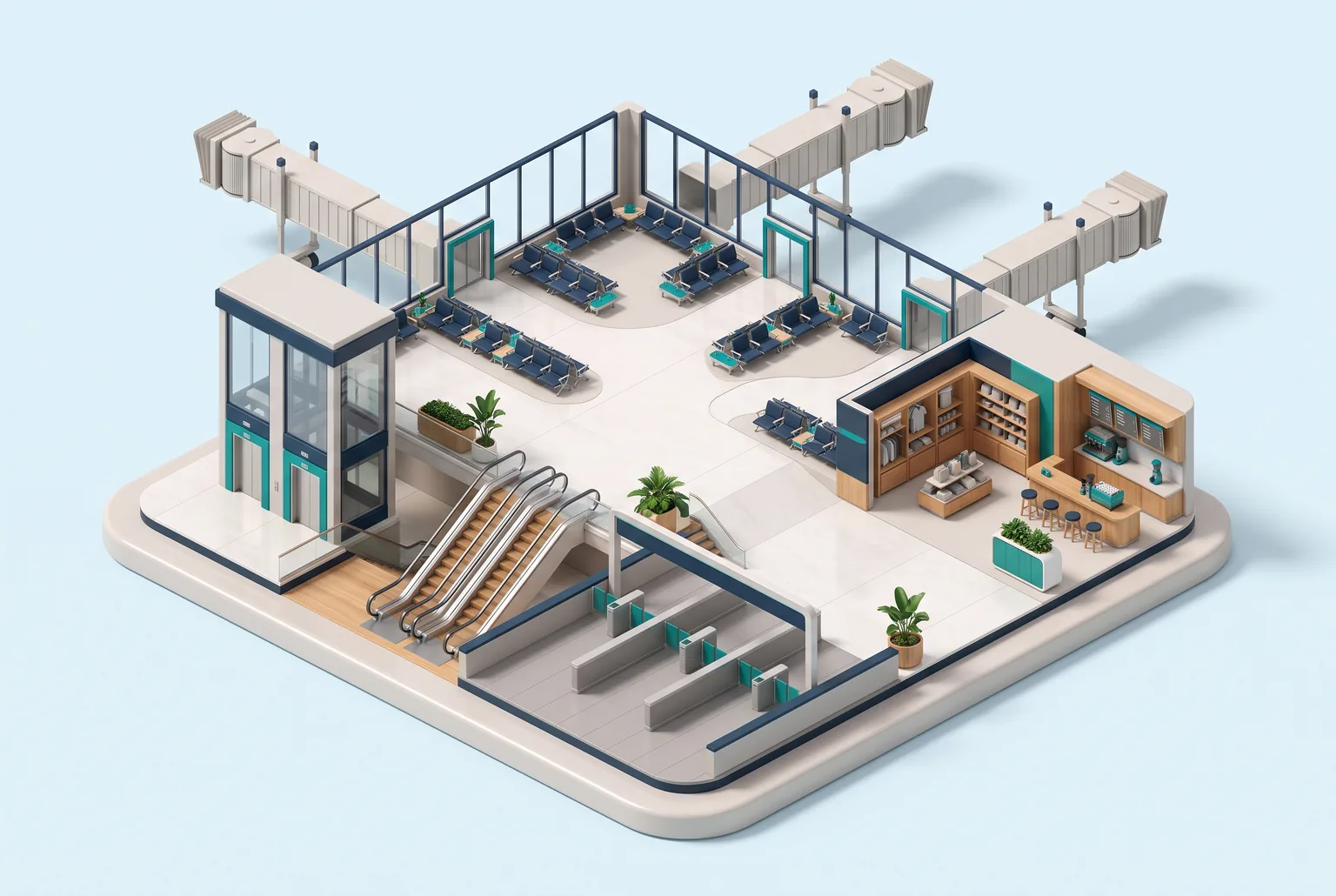
Concept illustration for Train, bus & ferry terminals
Concept illustration · not a navigation map

For visitors

Everything they’re looking for, in one place.

Platforms & baysTicket countersLiftsRestrooms & foodConnecting services

Walking guidance by floor, entrance and landmark. Choose accessible routes from verified data, and add a stop only when you want to.

For your team

Clear control over what you manage.

  • Connect verified station paths to platform information.
  • Keep paid areas, closures and accessibility clear.
  • Use current departure data before suggesting a detour.

Scan at the entrance. Choose a destination. Go.

An entrance QR opens the venue in the browser without requiring an app install. At a verified venue it also identifies the starting point. Basic navigation needs no personal profile.

Try an example entrance QR

Start with what you already have

What should you prepare?

You don’t need a perfect map. Describe the space and the material you have, then establish what needs mapping and on-site checks.

  1. 1Levels, platforms and ticket barriers
  2. 2Official departures and platform-change source
  3. 3Lift status and interchange walking routes
Prepare a mapping brief
Venues & eventsPrivacy