
Skip to content
YEMINAHYEMINAH
All venues & events

Conventions & exhibitions

The right booth. The next session. One map.

Help attendees move between exhibitors, talks and meeting spaces, even when the hall changes for every event.

A use case for your space. Navigation availability depends on mapping and verifying the venue.

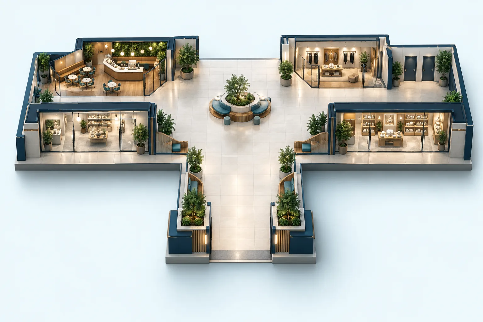
Concept illustration for Conventions & exhibitions
Concept illustration · not a navigation map

For visitors

Everything they’re looking for, in one place.

Exhibitor boothsSession roomsRegistrationNetworking areasFood & charging

Walking guidance by floor, entrance and landmark. Choose accessible routes from verified data, and add a stop only when you want to.

For your team

Clear control over what you manage.

  • Import an event-specific exhibitor directory.
  • Keep hall, stand and session names consistent.
  • Offer exhibitors aggregate discovery and opt-in offer reporting.

A temporary event needs a map with an end date.

Plan stalls, stages and entrances around the event’s dates and time zone. After closing, an old QR tells visitors the event has ended instead of navigating through a dismantled layout. The temporary plan stays separate from the permanent venue map.

Scan at the entrance. Choose a destination. Go.

An entrance QR opens the venue in the browser without requiring an app install. At a verified venue it also identifies the starting point. Basic navigation needs no personal profile.

Try an example entrance QR

Start with what you already have

What should you prepare?

You don’t need a perfect map. Describe the space and the material you have, then establish what needs mapping and on-site checks.

  1. 1Dated hall plan and stand directory
  2. 2Session schedule and room access
  3. 3Registration, facilities and accessible routes
Prepare a mapping brief
Venues & eventsPrivacy